Interesting places
Explore the Highlands and experience some of South Iceland’s most dramatic scenery.
Local Activity
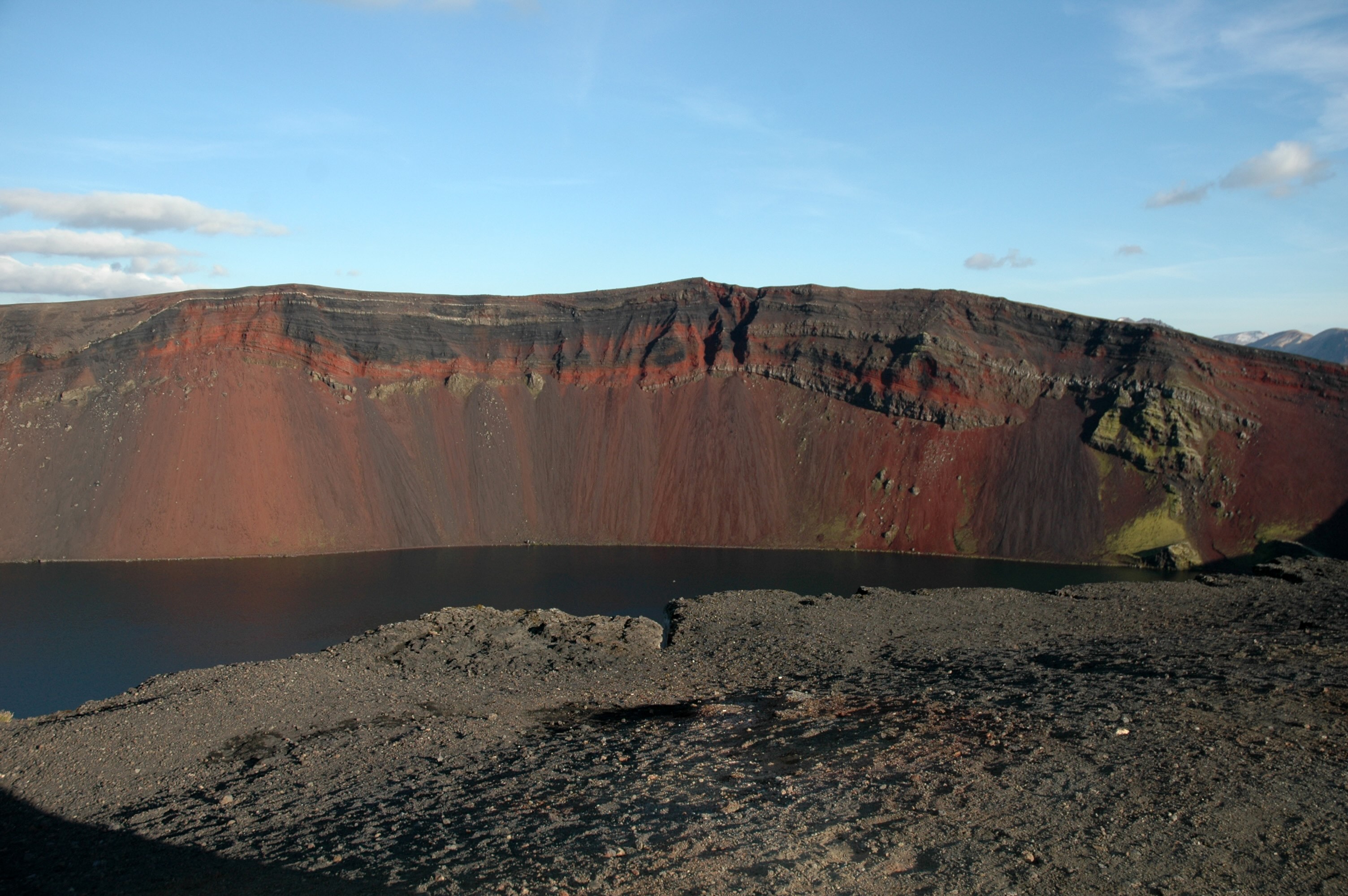
Eldgjá
Eldgjá is a spectacular series of eruption craters, about 70 km long, often spanning 600 m in width and as deep as 200 m. The area last erupted in about 934, just after the Norse settlement of Iceland. It is thought that the craters continue under the Mýrdals Glacier to meet Lake Lamba slightly west of Laki.
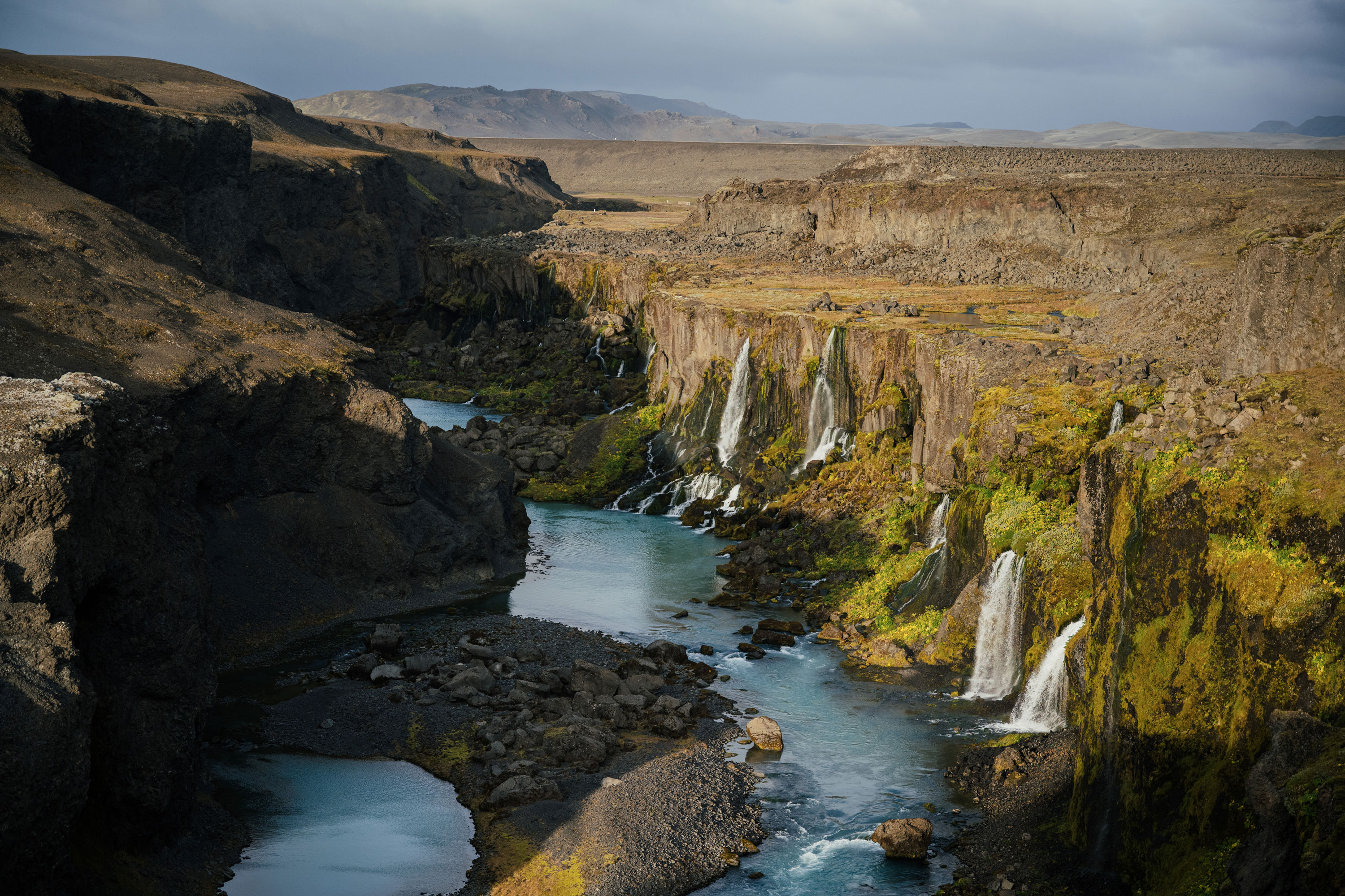
Gjáin
Gjáin is a short gorge near the ruins of the old farm of Stöng in the valley of the Þjórsá. Entrance is by a short path. The Red River cascades into the valley over two main waterfalls at the head of the gorge and races to meet the Foss River at Reykholt. The larger waterfall is Gjárfoss.
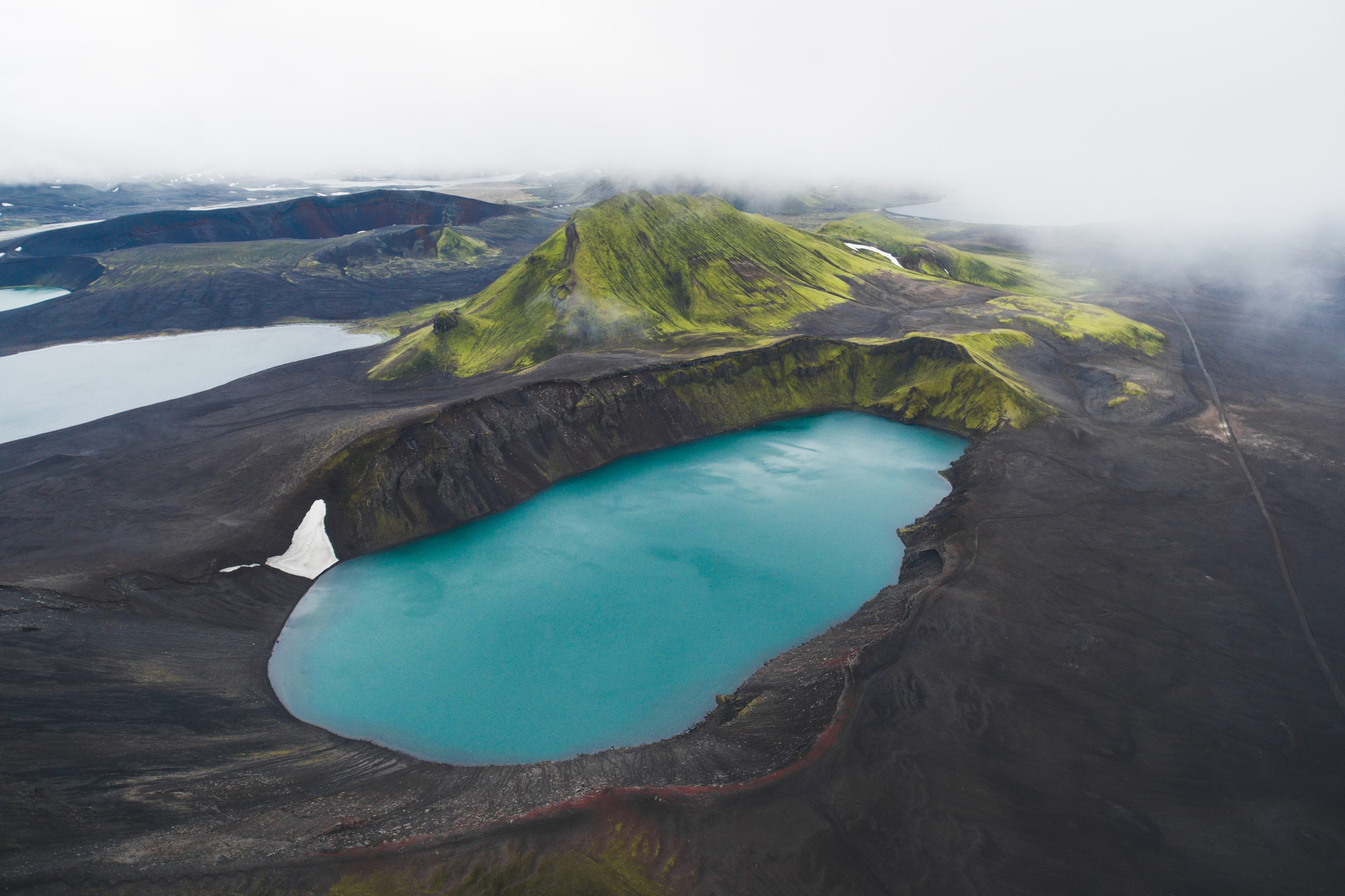
Hnausapollur
Hnausapollur is a stunning blue lake nestled in a crater that formed about 1100 years ago in a short explosive eruption. It is about 30 hectares in area and is one of those lakes in Iceland that are known by two names: Hnausapollur and Bláhylur. It lies in a crater near Mt. Tjörvafell, just north of Lake Frostastada, at an altitude of 570 metres.
Jökulheimar
Jökulheimar, or home of glaciers, is in the lower part of the Tungná River on the edge of the Tungná Glacier. The road there goes from Veiðivötn to Vatnaaldar east of Mt. Ljósa up to the Glacier Research Society lodge. The area around Jökulheimar is a barren wasteland.
Lakagígar
The Lakagígar form a magnificent 25 km long crater row running through the Síðumanna (Sídumnna) mountain pasture. The craters stretch from the palagonite mountain of Hnúta to the northeast across Mt. Laki, which rises 818 m above sea level, ending at the Vatnajökull Glacier.
Landmannalaugar
Landmannalaugar – inviting natural geothermal pools set amid colorful rhyolite mountains, a popular tourist spot and choice bathing on the Fjallabak road northeast of the volcano Mt Hekla. The road is passable in summer, though there are winter tours. This is part of one of the largest geothermal areas in the country, the Torfi Glacier area.
Ljótipollur
Ljótipollur is an explosion crater in the Landmanna highland pasture area. It is the farthest south of the craters that formed Veiðivötn (Veidivötn) in 1477, just north of Lake Frostastaða (Frostastada) and, like Hnausapollur, south of the Tungná River. Despite its name, which means “ugly”, the crater is stunning and the surrounding area like no other.
Sprengisandur
The Sprengisandur road runs between the Sigalda power plant and Bárðardalur (Bardardalur). This was a much-used road in the old days, for those from the East Fjords to attend the Althing meetings at Thingvellir and often for Bishops from their seat at Skálholt to pay a formal visit to those who lived in the east.
Stöng
Stöng In 1104 Mt Hekla erupted for the first time in the history of Iceland. The eruption laid waste a whole community in the valley of the Þjórsá (Thjórsá) River in the Árnes district, hardly fewer than 20 farms. More than eight centuries later, in 1939, Nordic archaeologists excavated several of these farmsteads.
Veiðivötn
Veiðivötn, or Fishing Lakes, form a group of lakes in the Landmanna district north of the Tungnaá River. They lie in a northeast - southwest depression between the Snjóaldar mountain range to the southeast and the Vatnaaldar crater row to the northwest. The Veiðivötn area is about 5 km wide and 20 km long running from the northeast to the southwest.
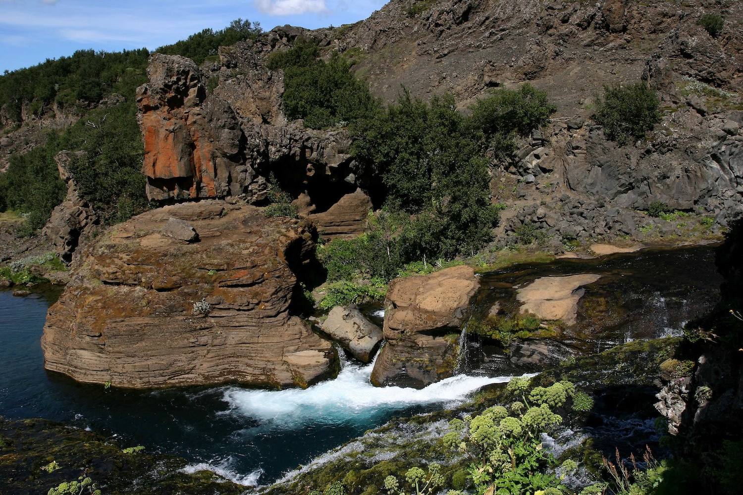
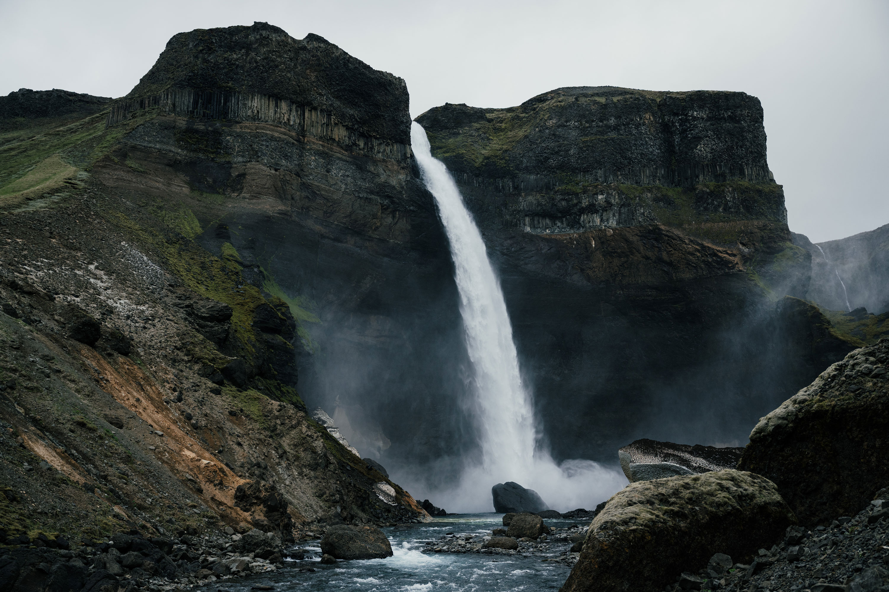
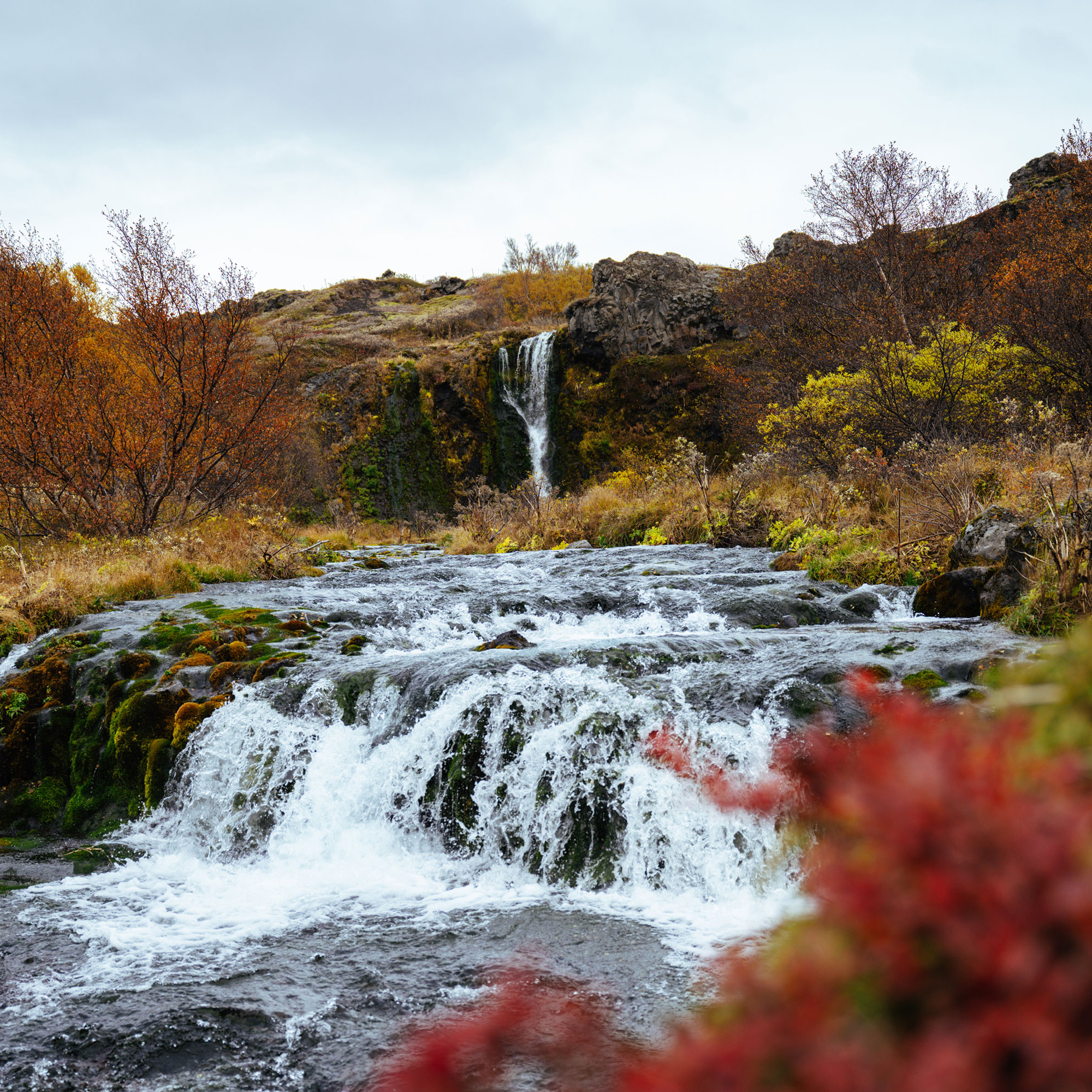
Photo Gallery
.jpeg)